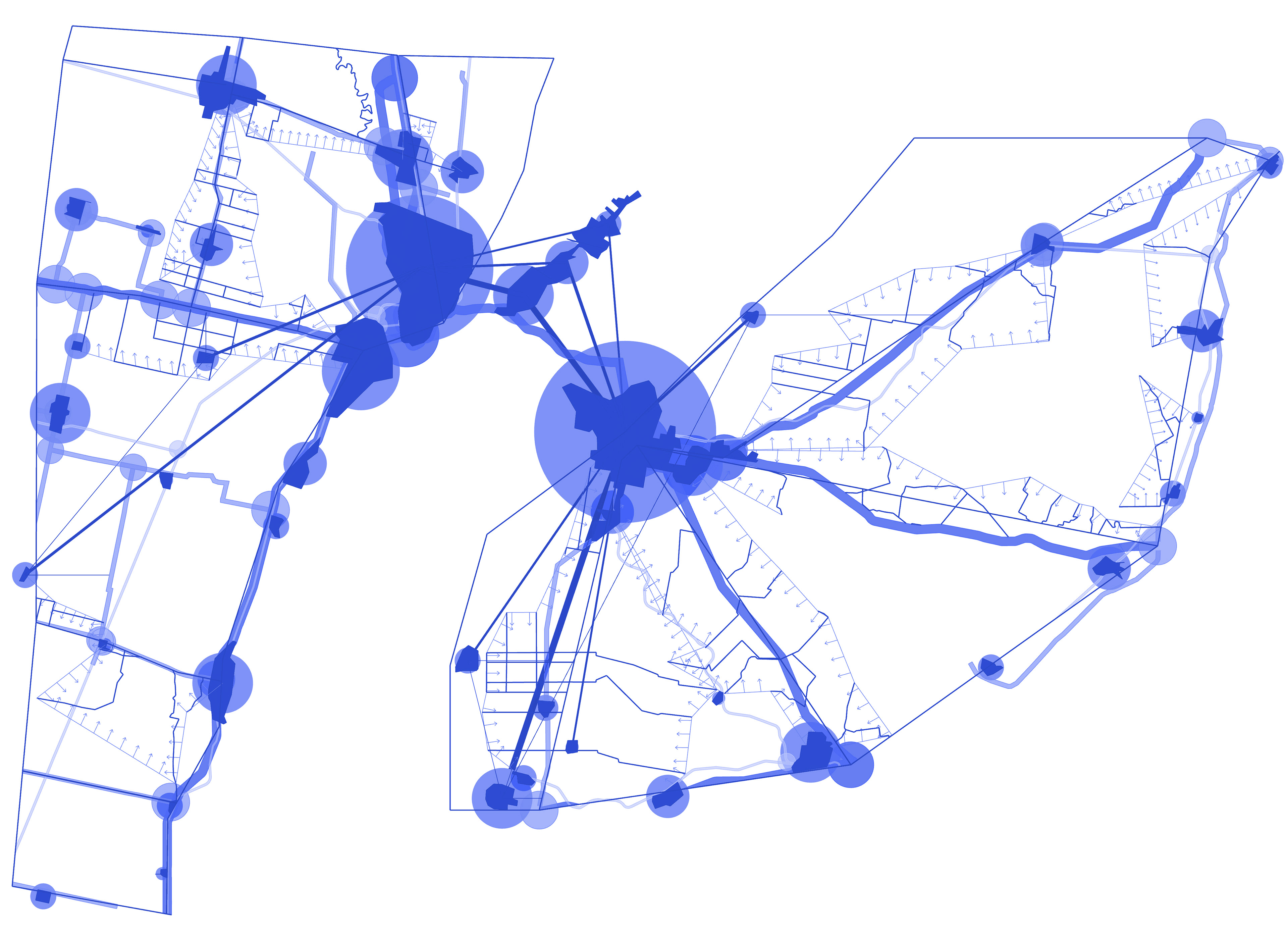
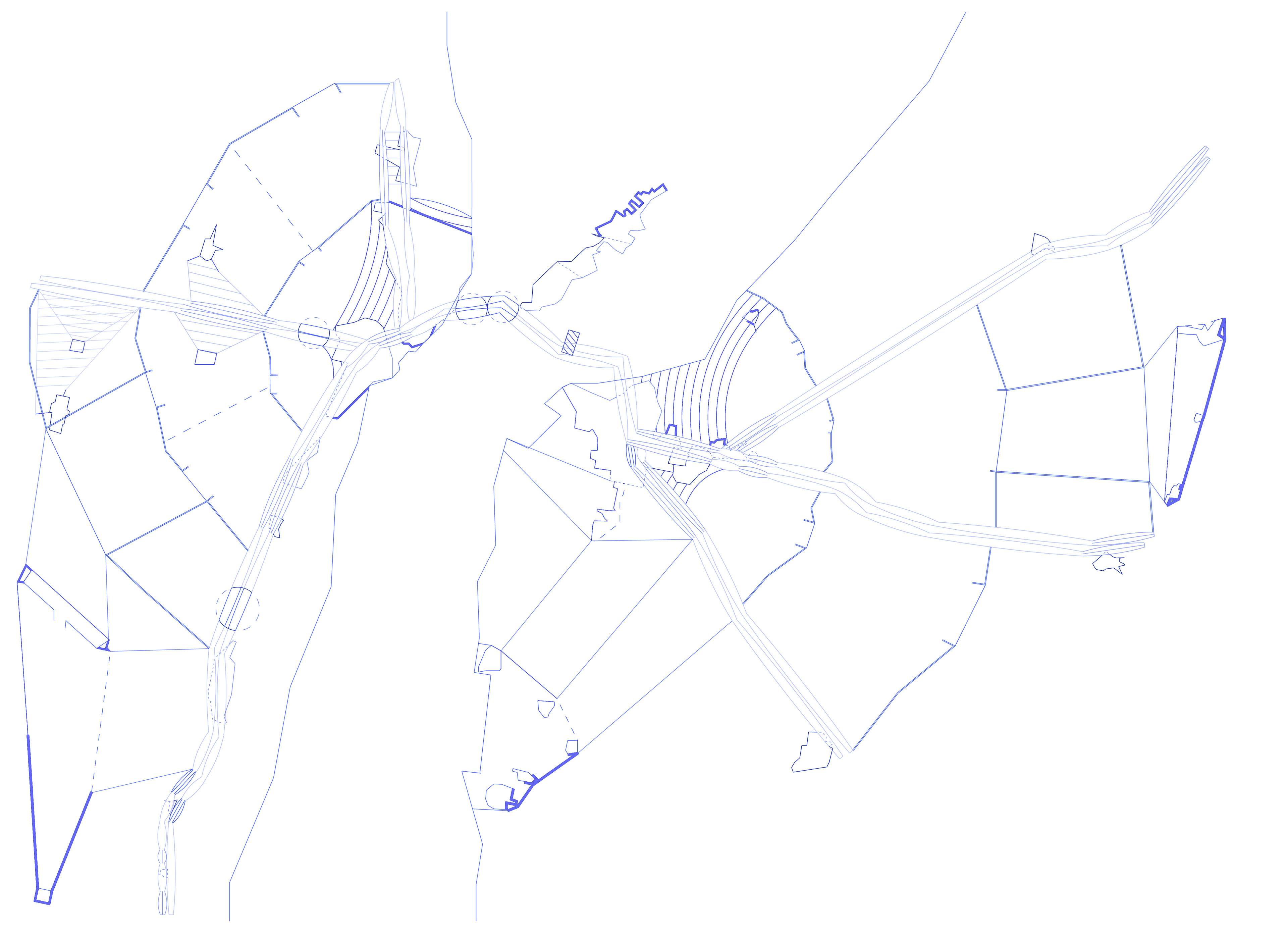
Macro nets mapping-Rhinoceros + Photoshop
Part of the subject ´´Urban planning´, from my time as an architecture student at the Torcuato di Tella University, in Buenos Aires, Argentina
Working on a territorial scale, the projejct focuses on the territorial border between Santa Fe and Entre Rios, specifically the area of Paraná, formulating different studies determined by four micro variables based on a specific activity: transportation. Subsequently, the work moves to a much smaller scale, the scale of several blocks of the Alto Verde complex, in Santa Fe, Argentina, in order to analyze the complexities that underlie its organization and subtract project potential from it
Buenos Aires, Argentina (proposed for Santa Fe, Argentina), 2021
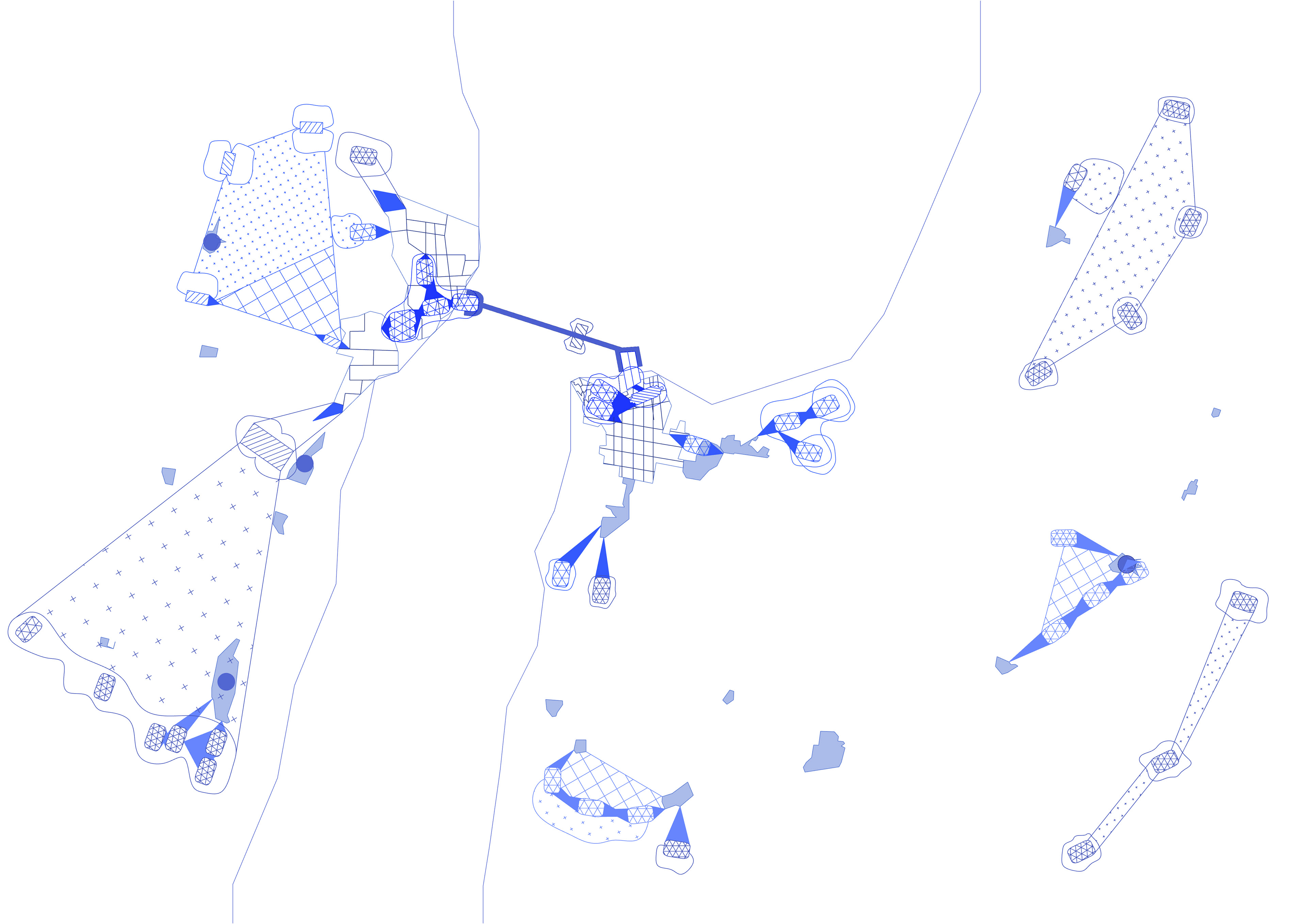
Macro places and territorial mapping-Rhinoceros + Photoshop
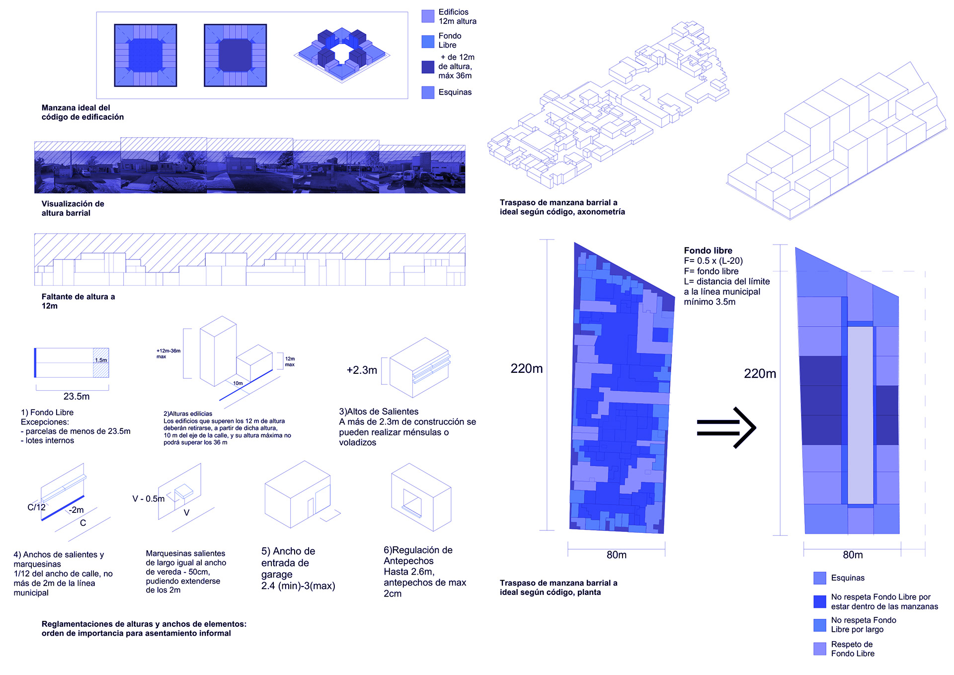
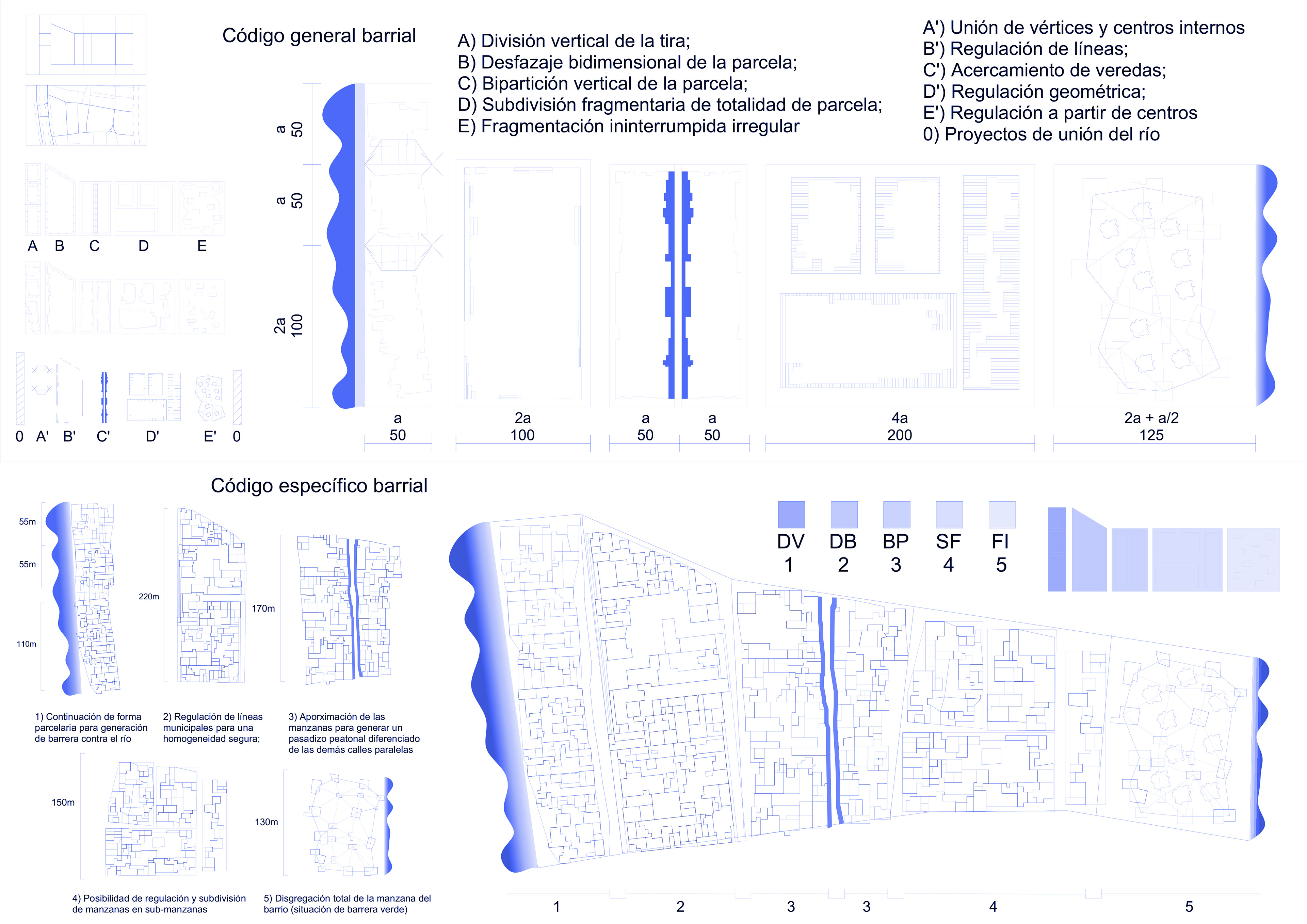
Maps, studies and conformation of a new urban code for Alto Verde-Rhinoceros + Photoshop

General adapted proposal for AltoVerde-Rhinoceros + Photoshop